What Are the Advantages of Using an INS Over GPS for Drone Navigation?
On December 15, 2024
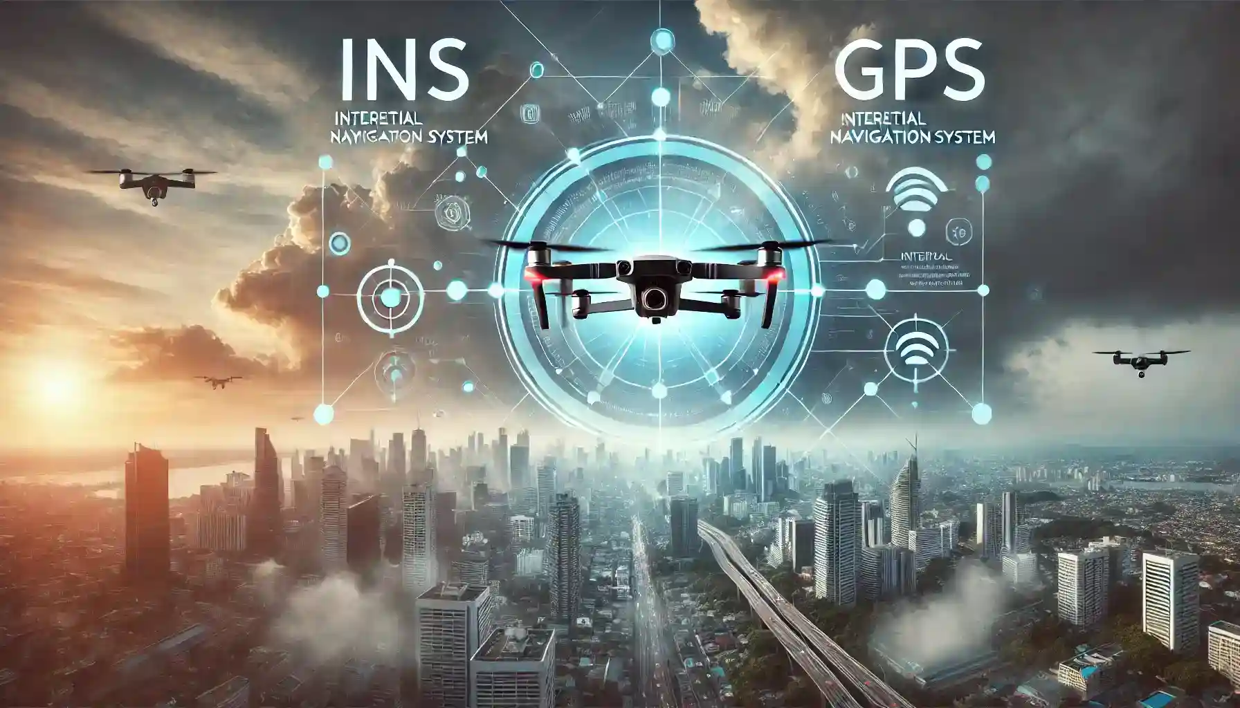
Drones have come a long way from being futuristic gadgets to becoming indispensable tools for a variety of industries. At the core of their navigation, two key technologies often work hand-in-hand: GPS (Global Positioning System) and INS (Inertial Navigation System). While GPS is widely recognized and used, there are situations where INS offers significant advantages over GPS for drone navigation. But what makes INS so special, and why do drones often rely on it, especially in challenging conditions?
Let’s break it down in a conversational, easy-to-understand way as we explore the perks of using INS over GPS for drone navigation.
What is INS?
The Inertial Navigation System (INS) is a self-contained navigation system that calculates a drone’s position, velocity, and orientation by measuring its movement and rotation. Unlike GPS, which depends on satellite signals, INS uses internal sensors like accelerometers and gyroscopes to figure out where the drone is at any given time.
The beauty of INS lies in its independence from external signals. This makes it a reliable option in environments where GPS might not be available or is prone to interference.
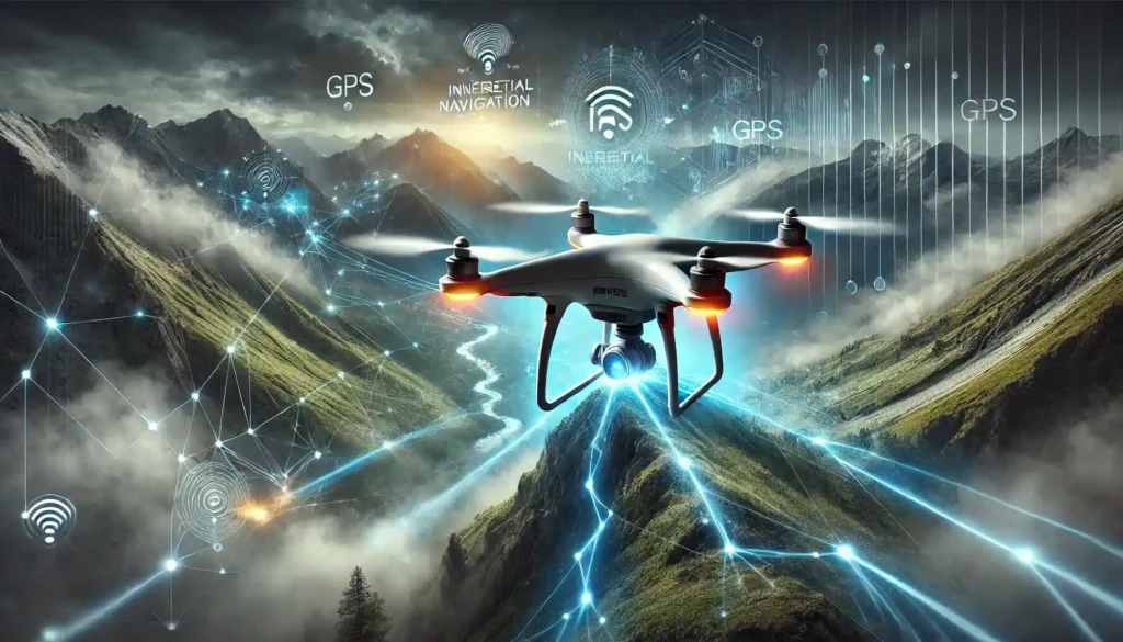
Why Compare INS and GPS?
To understand why INS sometimes outshines GPS, it helps to first look at their differences:
GPS:
- Relies on satellite signals for positioning.
- Provides absolute location data.
- Susceptible to interference, jamming, or signal loss in obstructed areas.
INS:
- Operates independently using internal sensors.
- Offers relative positioning by calculating motion from a known starting point.
- Immune to signal interference but prone to drift over time without correction.
The comparison isn’t about picking one over the other—INS and GPS often work together for maximum accuracy. But in certain cases, INS has clear advantages that can make it the star of the show.
Advantages of Using INS Over GPS for Drone Navigation
1. Operates in GPS-Denied Environments
One of the biggest advantages of INS is its ability to function in areas where GPS signals are weak or completely unavailable. These “GPS-denied environments” include:
- Indoor spaces: Warehouses, factories, or indoor events where GPS signals can’t penetrate.
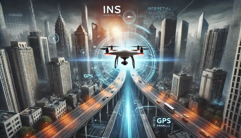
- Urban canyons: Densely populated areas with tall buildings that block satellite signals.
- Underwater: For drones designed for marine or underwater operations.
- Subterranean areas: Mines, caves, or tunnels where GPS simply doesn’t reach.
Example: Imagine a drone inspecting an underground tunnel for structural integrity. With no GPS to rely on, INS takes over, using its sensors to track the drone’s movements with precision.
2. Immune to Signal Interference
GPS signals can be jammed or spoofed, making them unreliable in certain scenarios. Jamming involves overwhelming the GPS receiver with noise, while spoofing tricks the receiver into thinking it’s in a different location. INS, however, is completely self-contained and not reliant on external signals, making it immune to these issues.
This makes INS-equipped drones ideal for:
- Military missions: Where GPS jamming is a common electronic warfare tactic.
- High-security operations: Such as delivering sensitive packages or conducting surveillance.
Example: A military drone flying in a hostile area can rely on INS to navigate safely without worrying about GPS interference from enemy forces.
3. Real-Time, High-Speed Navigation
INS provides real-time updates with extremely low latency, making it perfect for drones that require high-speed navigation or rapid response. GPS, while accurate, may experience slight delays due to signal transmission.
Applications where this matters:
- Drone racing: Where split-second accuracy and responsiveness are crucial.
- Emergency services: Such as search-and-rescue operations where every second counts.
Example: A racing drone zipping through tight turns at high speed depends on INS for instant positional updates, ensuring precision even in environments where GPS lags.
4. High Precision in Short Durations
INS is incredibly accurate for short-term navigation, as its sensors provide precise measurements of acceleration and rotation. While INS does suffer from drift over long durations (small errors accumulate over time), it excels in missions where:
- GPS signals are intermittent, and
- The drone needs to maintain accuracy over short bursts of time.
Example: During a bridge inspection, a drone may lose GPS under the structure. INS steps in to maintain accurate navigation until GPS connectivity is restored.
5. Versatility in Extreme Environments
Drones equipped with INS can operate in extreme conditions where GPS systems struggle, such as:
- Dense forests: Where tree canopies block satellite signals.
- Polar regions: Where signal availability may be limited due to the position of satellites.
- Mars or Moon missions: Extraterrestrial exploration where GPS simply doesn’t exist.
Example: NASA’s Mars rovers and drones like the Ingenuity Helicopter rely on INS technology to navigate the Martian surface without any external navigation systems.
6. Seamless Autonomous Navigation
For fully autonomous drones, INS provides the foundation for precise movement, especially in environments where external inputs are limited. By integrating INS with additional sensors like cameras or lidar, drones can navigate complex environments without any human intervention.
Applications:
- Warehouse automation: Drones navigating indoor spaces to transport goods.
- Agricultural drones: Mapping crops in remote areas where GPS signals may fluctuate.
Example: An autonomous delivery drone in a smart city can rely on INS when flying through skyscraper-lined streets where GPS signals may drop.
7. Enhanced Redundancy for Critical Missions
By combining INS with GPS, drones achieve greater reliability. If GPS fails, INS can take over seamlessly, ensuring uninterrupted operations.
This redundancy is especially important for:
- Critical infrastructure inspections: Power lines, pipelines, or offshore rigs where interruptions can be costly.
- Commercial drone deliveries: Where accuracy and reliability are key.
Example: A drone delivering medical supplies to a remote village can switch to INS if GPS connectivity is lost mid-flight.
How INS and GPS Work Together
While INS has clear advantages in specific situations, it’s not a complete replacement for GPS. The two technologies complement each other beautifully:
- INS handles short-term precision, especially in GPS-denied environments.
- GPS corrects INS drift, ensuring long-term accuracy.
Together, they create a navigation system that’s both robust and reliable, making drones capable of tackling a wide range of applications.
Overview Table: INS vs. GPS for Drone Navigation
Feature | INS | GPS |
Signal Independence | Operates without external signals. | Requires satellite connectivity. |
GPS-Denied Operations | Excels in indoor, underwater, and subterranean areas. | Limited or unavailable in GPS-denied environments. |
Resistance to Interference | Immune to jamming and spoofing. | Vulnerable to jamming and spoofing. |
Latency | Real-time updates with low latency. | Slight delays in signal transmission. |
Accuracy Over Time | Prone to drift in long-term navigation. | Provides long-term accuracy. |
Extreme Environment Utility | Performs well in forests, polar regions, and space. | Struggles in obstructed or extraterrestrial zones. |
Autonomous Navigation | Enables seamless operation with additional sensors. | Relies heavily on external connectivity. |
