Flight Controller for Drone with GPS
On November 9, 2024

Introduction
A flight controller or an Autopilot system is a system that is designed to fulfill a few tasks: Controlling the Drone or UAV, and also sending status and monitoring data of the drone back to the ground control station to be observed by the operator of the drone. Controlling the drone itself can be divided into two parts: Stabilizing the UAV using the Inertial Measurement Unit sensor (IMU Sensor), and also performing missions to fly to a specific location and perform different tasks such as taking pictures. The latter requires the flight controller to know the position of the drone, which is usually obtained from GNSS data including GPS, Beidou, and other available satellites. Some of the flight controllers come with an embedded GNSS receiver (GPS receiver) sensor, while others support the connection of an external GPS sensor. Let’s look at a few different Flight Controller for Drone with GPS systems that support such a functionality.
Table of Contents
Autopilots with internal GPS receiver
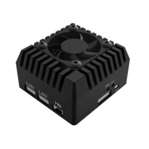
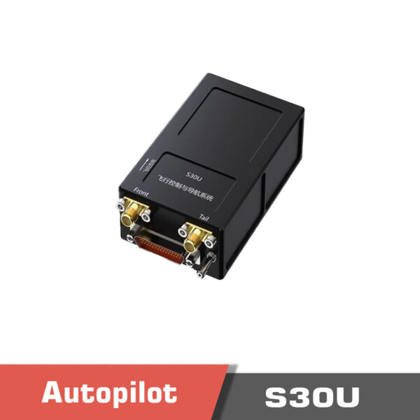
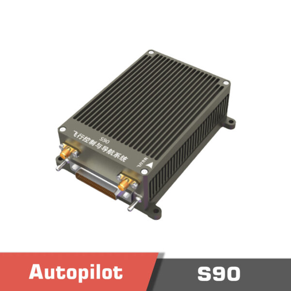
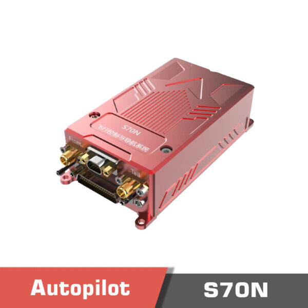
The GPS receiver is installed inside the packaging of the flight controller, and there will be a connector on the box (usually SMA or RP-SMA) to connect the GPS antenna for better signal reception. If the system supports dual GPS, you will see two antenna connectors on the box. We can name S30U flight controller, S70N flight controller, and S90 flight controller from the flight controller series with an internal GPS receiver.
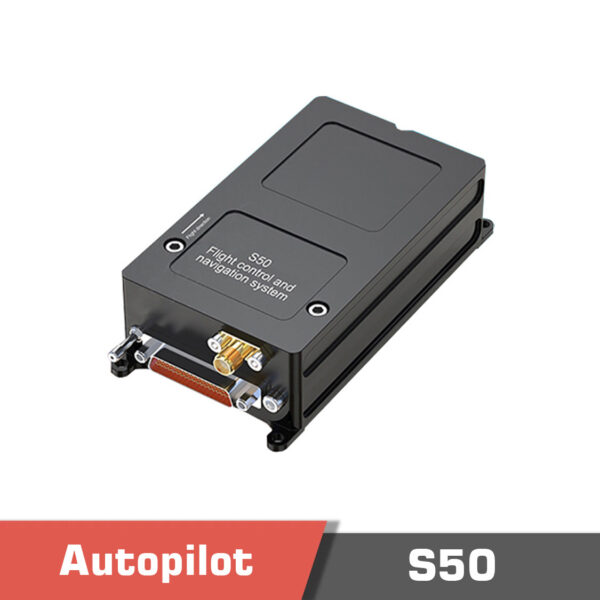
In addition to having an internal GPS receiver, Flight Controller for Drone with GPS also support the connection of an external GPS receiver. S50 flight controller is one those models.
S90 Flight controller, Hybrid UAV Flight Control and Navigation System
Rated 5.00 out of 5
S70N Flight controller, Hybrid UAV Flight Control and Navigation System
Rated 5.00 out of 5
15,500.00 $
S50 Flight controller, Hybrid UAV Flight Control and Navigation System
Rated 5.00 out of 5
6,010.00 $
Autopilots without an internal GPS receiver
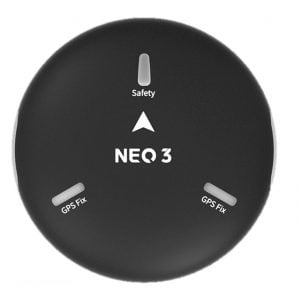
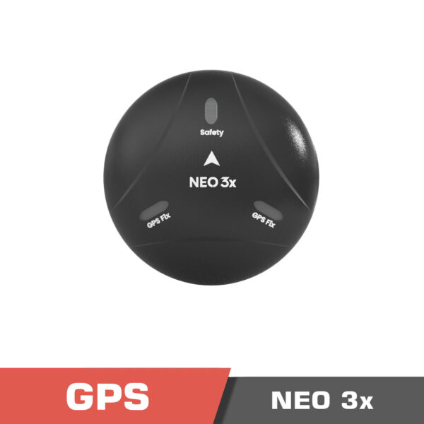
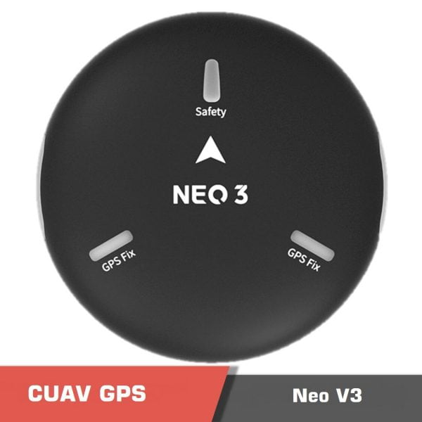
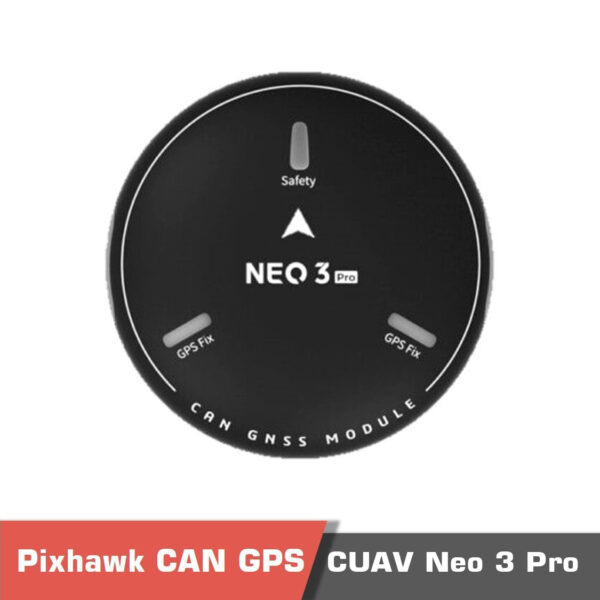
If the Flight Controller for Drone with GPS does not have an internal receiver, one would need to connect an external GPS receiver so that the autopilot is able to estimate its location. The connection is made using serial (TTL) or CAN protocol. For example, CUAV NEO 3 GPS supports serial communication while CUAV NEO 3 Pro GNSS system supports CAN communication. CAN protocol is more reliable in noisy environments, and the cable connection can be extended without any fear about the noise on the communicated data. The external GPS receivers also have a compass inside that can help find the drone’s heading. The compass should be connected with the I2C protocol. However, if the GPS receiver module supports CAN protocol, both the GPS and compass data can be transmitted over the CAN protocol. CUAV NEO 3x is the upgraded version with IP66 protection level and industrial RM3100 compass sensor.
DroneCAN is the primary CAN protocol used by the ArduPilot and PX4 projects for communication with CAN peripherals. So the newly developed peripherals are encouraged to support DroneCAN protocol to be able to easily integrated into PX4 and Ardupilot.
Read More: What Sensor Controls the Heading of a Drone?
RTK GPS / GNSS system
Real time kinematics (RTK) GPS system is a type of GPS system that is able to achieve up to 1cm accuracy using the correction data that is exchanged between the module installed on the drone and a base station. RTK performs based on the principles of differential GPS, where the base station (which has a fixed location), measures the errors in the GPS data relative to its location which is known, and transmits this correction information to the UAV to correct its location.
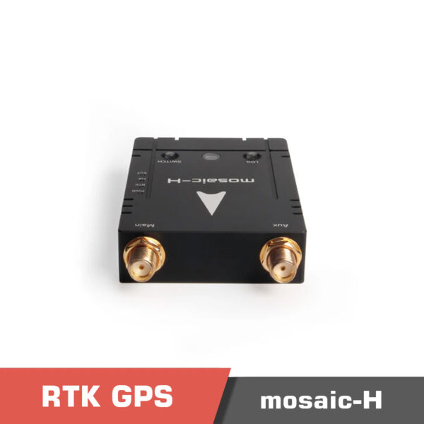
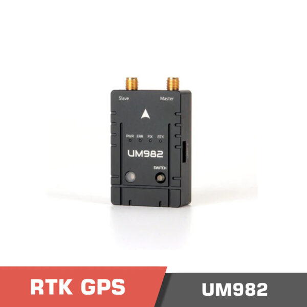
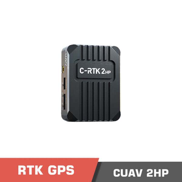
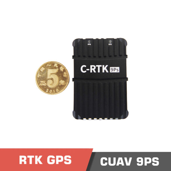
We can name Holybro HRTK Mosaic-H, H-RTK Unicore UM982 (Dual Antenna), CUAV C-RTK 9Ps Positioning Module, CUAV C-RTK 2HP Positioning Module (Dual antenna RTK) among a few different RTK GPS systems. Instead of using a compass which may have noisy data in some environments with electromagnetic interferences, a flight controller can find the heading of the drone by installing a dual RTK system.
H-RTK Unicore UM982 (Dual Antenna)
Rated 5.00 out of 5
CUAV C-RTK 2HP Positioning Module (Dual antenna RTK)
Rated 5.00 out of 5
261.00 $ – 697.00 $Price range: 261.00 $ through 697.00 $
Select options
This product has multiple variants. The options may be chosen on the product page
CUAV C-RTK 9Ps Positioning Module | High Precision GPS RTK GNSS Pixhawk
Rated 5.00 out of 5
477.00 $ – 996.00 $Price range: 477.00 $ through 996.00 $
Select options
This product has multiple variants. The options may be chosen on the product page
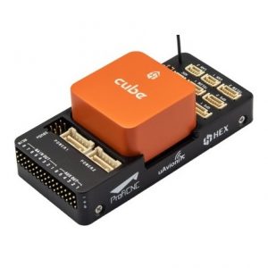
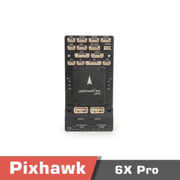
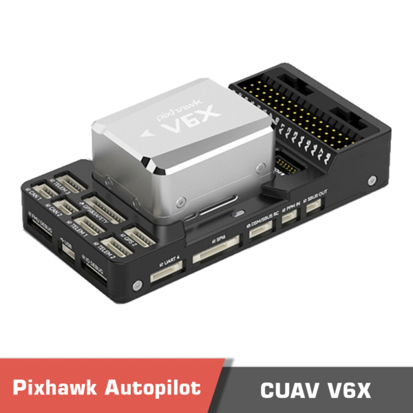
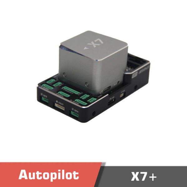
Most of the modern Flight Controller for Drone with GPS systems support RTK navigation including CUAV Pixhawk V6X, Pixhawk CUAV X7+, and Holybro Pixhawk 6X Pro.
Holybro Pixhawk 6X pro
Rated 5.00 out of 5
720.00 $ – 888.00 $Price range: 720.00 $ through 888.00 $
Select options
This product has multiple variants. The options may be chosen on the product page
CUAV Pixhawk V6X
Rated 5.00 out of 5
320.00 $ – 1,150.00 $Price range: 320.00 $ through 1,150.00 $
Select options
This product has multiple variants. The options may be chosen on the product page
Pixhawk CUAV X7+ Flight Controller
Rated 5.00 out of 5
352.00 $ – 1,172.00 $Price range: 352.00 $ through 1,172.00 $
Select options
This product has multiple variants. The options may be chosen on the product page
