What Are the Common Applications of Drones with INS Technology?
On December 15, 2024
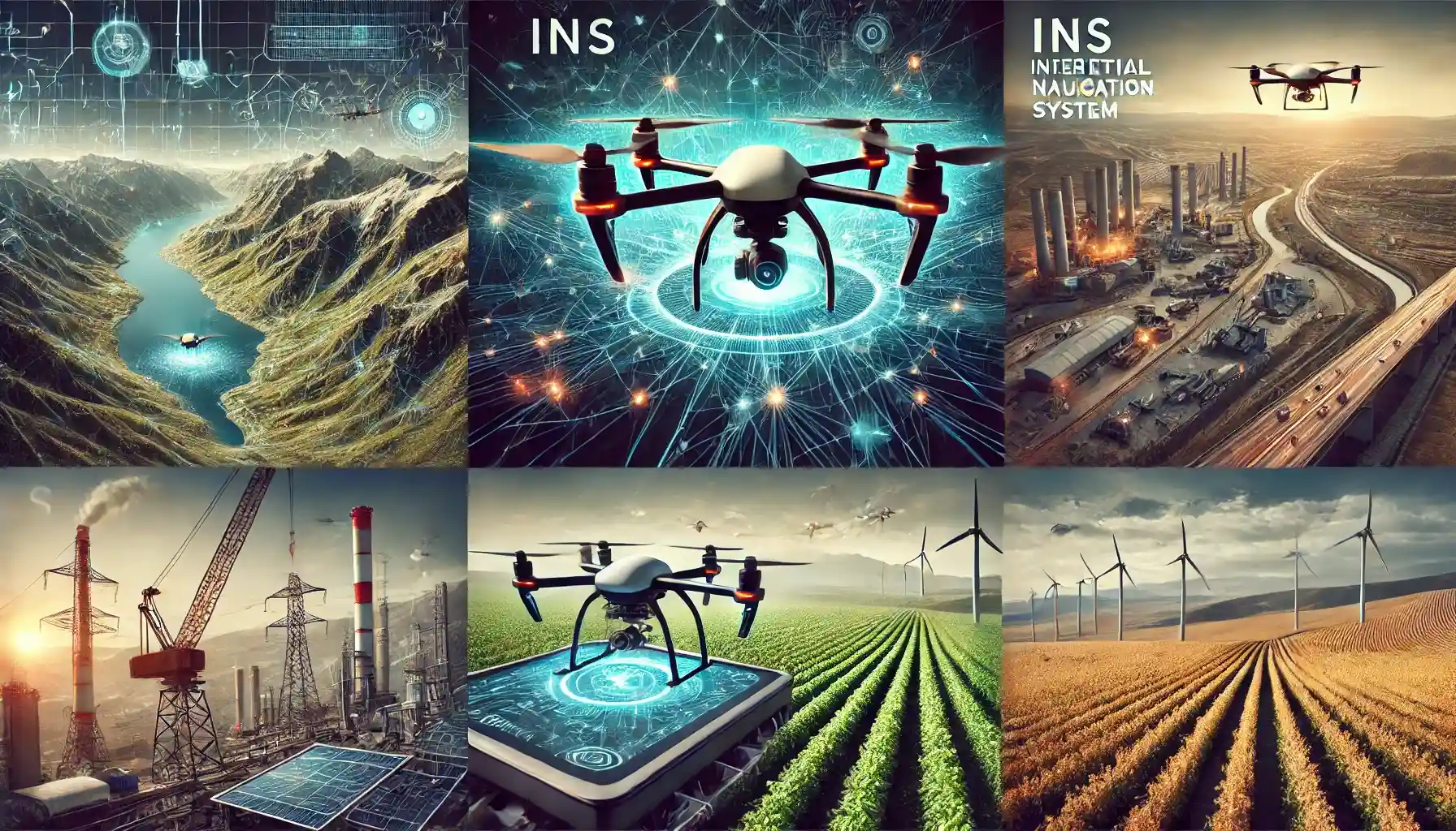
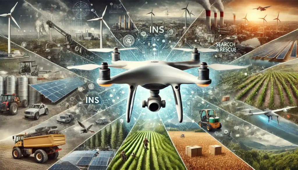
Drones are no longer just fancy gadgets for hobbyists—they’ve become indispensable tools in industries worldwide. One of the technologies enabling drones to perform with precision is the Inertial Navigation System (INS). INS-equipped drones use accelerometers, gyroscopes, and sometimes magnetometers to calculate position, velocity, and orientation. Unlike GPS, which relies on satellite signals, INS operates independently, making it a reliable option in GPS-denied environments.
So, where are drones with INS technology making a real impact? Let’s explore their fascinating applications and uncover why INS is such a game-changer.
What Makes INS Important for Drones?
Before diving into specific applications, let’s quickly recap what INS does. INS calculates a drone’s position by measuring its movement from a known starting point. While it’s often paired with GPS for enhanced accuracy, INS shines in situations where GPS is unavailable, such as tunnels, dense urban environments, or indoors.
Drones with INS are particularly valued for their precision, reliability, and ability to operate autonomously in challenging conditions. Now, let’s see how these capabilities translate into real-world uses.
1. Aerial Surveying and Mapping
Drones have revolutionized surveying and mapping, and INS is at the heart of this transformation.
- Why INS? INS enables drones to accurately track their position in areas where GPS signals might be weak or obstructed, such as mountainous regions or dense forests.
- Applications:
- Creating topographic maps for urban planning.
- Surveying construction sites for progress tracking.
- Mapping disaster-hit areas for relief planning.
Example: An INS-equipped drone can map a remote forest canopy, providing geospatial data for ecological studies without relying solely on GPS.
2. Infrastructure Inspection
Whether it’s inspecting bridges, power lines, or oil rigs, drones with INS technology are essential for modern infrastructure maintenance.
- Why INS? INS provides the stability and positional accuracy needed to navigate around large structures, even in environments where GPS signals are weak (e.g., under bridges or near steel frameworks that interfere with GPS).
- Applications:
- Bridge inspections for structural integrity.
- Checking power line connections and spotting faults.
- Monitoring offshore oil and gas platforms.
Example: A drone can inspect the underside of a suspension bridge, identifying cracks and corrosion with millimeter-level precision.
3. Search and Rescue Operations
In emergency situations, every second counts, and INS-equipped drones are often the first responders.
- Why INS? INS enables drones to navigate through tunnels, collapsed buildings, or dense forests where GPS signals are unavailable.
- Applications:
- Locating survivors in earthquake or avalanche zones.
- Delivering essential supplies to inaccessible areas.
- Assisting firefighters by mapping burning buildings.
Example: During a search-and-rescue mission, an INS-equipped drone can fly through a collapsed structure, sending real-time data to rescue teams.
4. Agriculture and Precision Farming
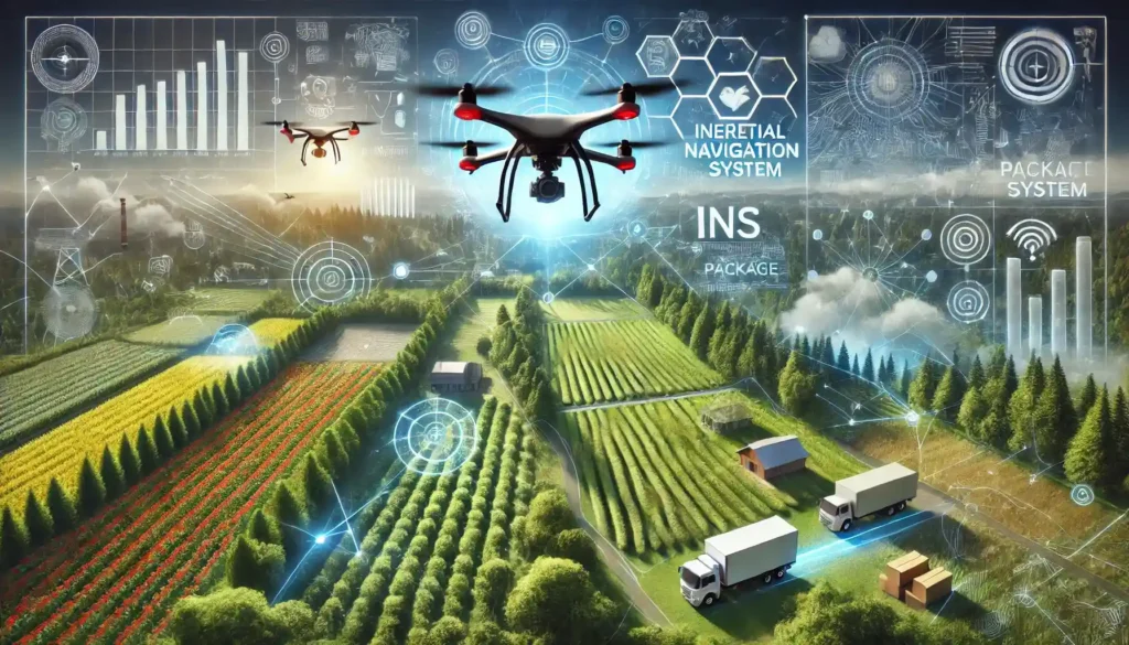
The agriculture industry has embraced drones for their ability to monitor crops and optimize farming practices.
- Why INS? INS ensures that drones can follow precise flight paths over vast fields, even if GPS connectivity is spotty or unavailable due to weather conditions or remote locations.
- Applications:
- Mapping crop health using multispectral imaging.
- Monitoring irrigation systems.
- Spotting pest infestations or nutrient deficiencies.
Example: Farmers can use INS-equipped drones to monitor crop health in remote areas where GPS signals are unreliable, improving yields and reducing waste.
5. Urban Planning and Smart Cities
Drones are helping cities evolve into smarter, more efficient spaces, and INS plays a critical role in this transformation.
- Why INS? INS ensures that drones can navigate complex urban environments, even when GPS signals are blocked by skyscrapers or dense infrastructure.
- Applications:
- 3D mapping of cities for urban development.
- Monitoring traffic flow and infrastructure wear.
- Delivering packages via autonomous drones.
Example: INS-equipped drones can map a city’s sewer system from above ground, providing essential data for infrastructure upgrades.
6. Environmental Monitoring
With climate change and environmental conservation becoming critical global issues, drones equipped with INS are invaluable tools for monitoring and protecting natural habitats.
- Why INS? INS enables drones to operate in remote or GPS-denied locations, such as dense forests, mountainous terrain, or underwater environments.
- Applications:
- Monitoring wildlife populations and migration patterns.
- Assessing deforestation or land degradation.
- Measuring air quality or ocean temperatures.
Example: An INS drone can monitor endangered species in a dense jungle, capturing critical data without disturbing the environment.
7. Space Exploration
INS isn’t limited to Earth—its ability to navigate independently of GPS makes it vital for extraterrestrial missions.
- Why INS? INS is essential for navigating on planets or moons where GPS doesn’t exist.
- Applications:
- Guiding drones or rovers on Mars or the Moon.
- Mapping extraterrestrial terrain for future human missions.
- Collecting and delivering samples back to landers.
Example: NASA’s Mars Helicopter, Ingenuity, uses INS to navigate the Red Planet’s surface without external signals.
8. Film and Media Production
Drone footage has become a staple in filmmaking, and INS technology ensures smooth and stable shots.
- Why INS? INS stabilizes drones in complex environments, such as indoor sets or near tall buildings, where GPS signals may be inconsistent.
- Applications:
- Capturing dynamic aerial shots.
- Shooting in urban locations with GPS interference.
- Filming in remote locations like caves or canyons.
Example: An INS-equipped drone can capture cinematic shots inside a massive cave for an adventure film.
Overview Table: Applications of Drones with INS Technology
Application | Why INS Is Essential | Examples |
Aerial Surveying | Operates accurately in GPS-denied areas. | Mapping remote forests or construction sites. |
Infrastructure Inspection | Stable and precise near large structures. | Inspecting bridges or power lines. |
Search and Rescue | Navigates in collapsed buildings or dense forests. | Locating survivors in disaster zones. |
Agriculture | Ensures precise flight paths over fields. | Monitoring crop health in remote areas. |
Military and Defense | Resilient to GPS jamming in hostile zones. | Reconnaissance and supply missions. |
Urban Planning | Handles complex urban environments with GPS interruptions. | 3D mapping of cities or delivering packages. |
Environmental Monitoring | Operates in remote habitats or extreme conditions. | Tracking wildlife or assessing deforestation. |
Space Exploration | Essential for navigation on extraterrestrial bodies. | Guiding rovers or drones on Mars or the Moon. |
Film and Media Production | Stabilizes drones for smooth footage in challenging locations. | Capturing cinematic shots indoors or in urban settings. |
Let’s Hear From You!
Now that you know how versatile drones with INS technology are, we want to hear your thoughts! Do you have experience with drones that rely on INS? Which application fascinates you the most? Are there any other innovative uses for INS-equipped drones you’ve come across?
Drop your ideas, stories, or questions in the comments below! Let’s keep the conversation flying high.
