What Sensor Controls the Heading of a Drone?
On November 9, 2024
Introduction
In order to add autonomous flight to drones and unmanned aerial vehicles, an autopilot system is necessary. An autopilot or flight controller is a set of systems including a main processing unit and sensors installed on the drone to control it. The Processor uses the data from the sensors to control and navigate the drone. Two of the information that the processor uses is the attitude (including pitch and roll angle of the drone) and also the drone’s heading. The former information is used for stabilizing the drone, while the latter along with the GPS information can be used for the navigation of the drone. The heading of the drone can be found using a compass, while it is also possible to find it using other sensors such as GPS and gyroscope sensors. Please read the rest of this article to learn more about what sensor controls the heading of a drone and check a few products.
Table of Contents
Finding Heading of a drone using a Compass
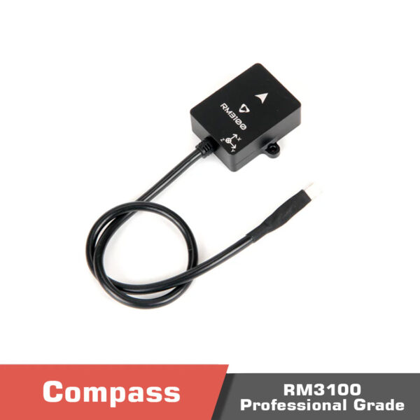
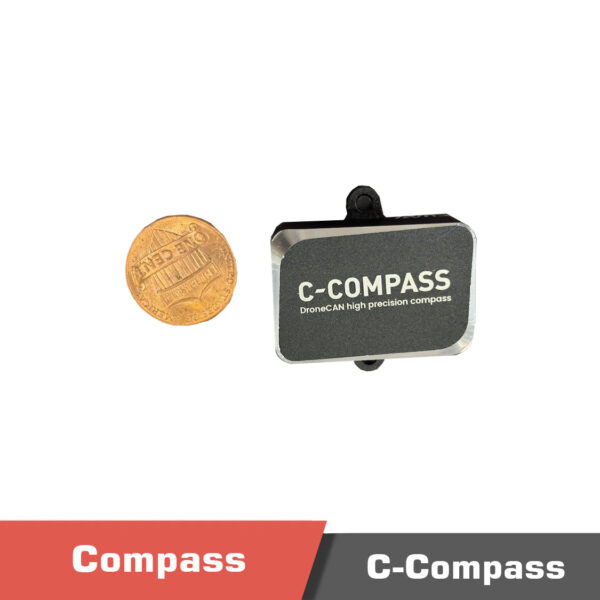
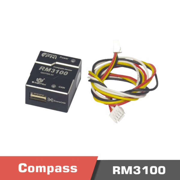
A compass or a magnetometer would be the simplest type of sensor that can be used to find and control the heading of a drone. These types of sensors can find the direction of the drone relative to the Earth’s magnetic field. Traditional compasses contained a needle (a magnetized needle), that when held flat and away from any metals, would point toward the magnetic north pole of the earth. Magnetometers are MEMS sensors that can measure the strength and direction of the magnetic fields, usually in three directions, and can be used to find the heading of the drone. If you are looking for one, you can check CUAV C-Compass RM3100 sensor, Holybro DroneCAN RM3100 Compass, and QioTek RM3100 Compass.
Finding Heading of a drone using Gyroscope sensor
Opposed to compass and magnetometers, gyroscope sensors can not find the absolute direction of the drone with respect to the earth north direction, but they can sense the relative changes in the direction. Gyroscope measures angular velocity (rate of the angle rotation). So you would need an initial value for the direction, which should be known, and then use the change in the direction to estimate the current heading of the drone. Gyroscopes drift over time (their value changes without the drone actually rating). So usually people fuse gyroscope data with a compass to have a more reliable estimation (Gyroscopes are reliable in short terms, while magnetometers are reliable in long terms).
Finding Heading of a Drone Using a GPS
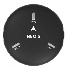
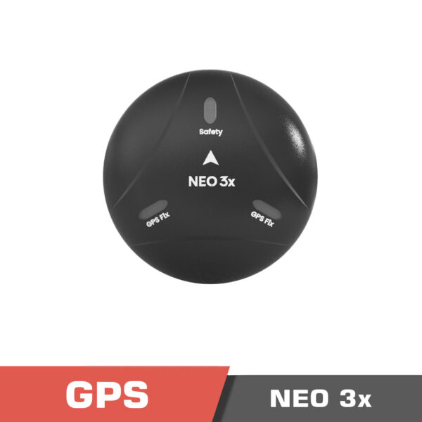
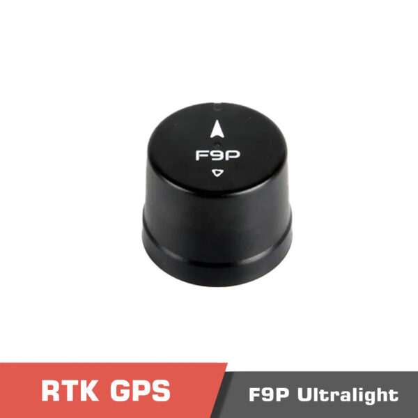
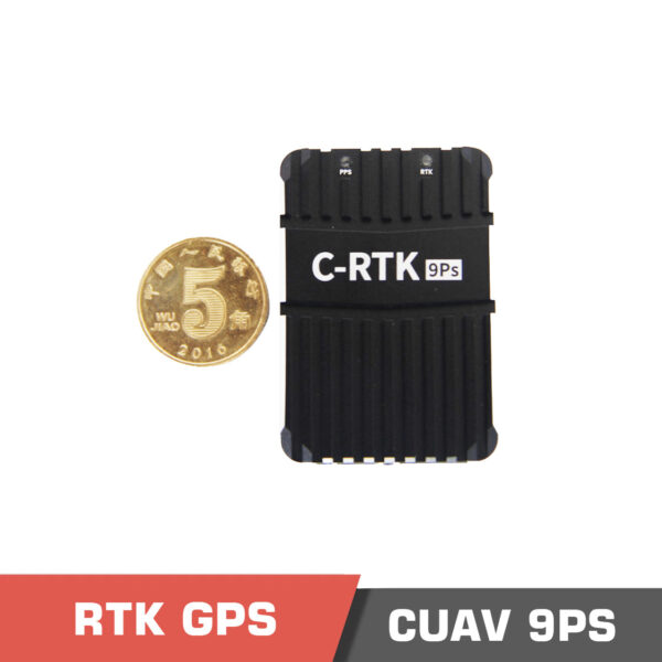
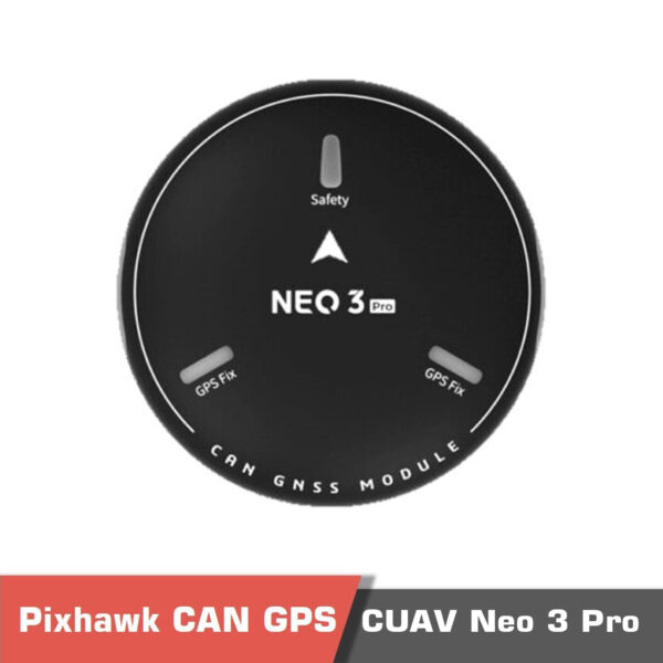
The next option for finding the direction or heading of a drone is to use a GPS receiver to receive GNSS data. The GPS can receive the global position of the drone on the earth using satellite data. The update rate of the different models can be different. Having the position of the drone in consecutive time frames, the movement direction of the drone can be found, and thus the heading of the drone is found. Some of the external GPS receivers such as H-RTK F9P Ultralight GNSS, CUAV NEO 3x GNSS, CUAV NEO 3 Pro, and CUAV C-RTK 9Ps have an internal compass too that can help the system. We should note that this method is only applicable to fixed wing drones that can only move forward (multirotor drones can move in any desired direction).
CUAV C-RTK 9Ps Positioning Module | High Precision GPS RTK GNSS Pixhawk
Rated 5.00 out of 5
477.00 $ – 996.00 $Price range: 477.00 $ through 996.00 $
Select options
This product has multiple variants. The options may be chosen on the product page
Finding Heading of a Drone using a Dual RTK GPS System
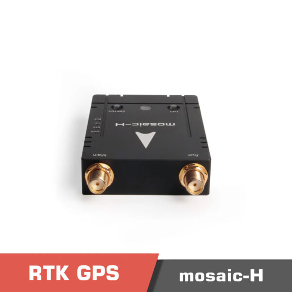
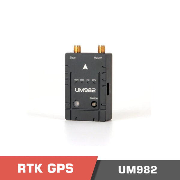
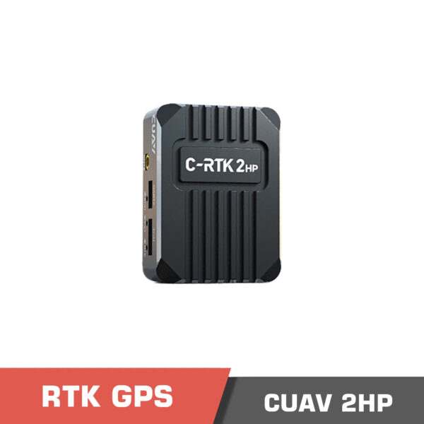
Real time kinematics (RTK) GPS system is a type of GPS system that is able to achieve up to 1cm accuracy using the correction data that is exchanged between the module installed on the drone and a base station. Normal GPS receivers can have localization errors of 1m or even more. Being able to find the location of the drone in centimeter level, you can install two RTK on the front and read of the drone, with at least 50cm baseline distance (the more the distance, the more accurate the data can be). After that, the heading of the drone can be found using the location of the two GPS receivers (or better said, the location of their antenna). We can name Holybro HRTK Mosaic-H, H-RTK Unicore UM982 (Dual Antenna), CUAV C-RTK 9Ps Positioning Module, CUAV C-RTK 2HP Positioning Module (Dual antenna RTK) among a few different RTK GPS systems.
H-RTK Unicore UM982 (Dual Antenna)
Rated 5.00 out of 5
CUAV C-RTK 2HP Positioning Module (Dual antenna RTK)
Rated 5.00 out of 5
261.00 $ – 697.00 $Price range: 261.00 $ through 697.00 $
Select options
This product has multiple variants. The options may be chosen on the product page
CUAV C-RTK 9Ps Positioning Module | High Precision GPS RTK GNSS Pixhawk
Rated 5.00 out of 5
477.00 $ – 996.00 $Price range: 477.00 $ through 996.00 $
Select options
This product has multiple variants. The options may be chosen on the product page
