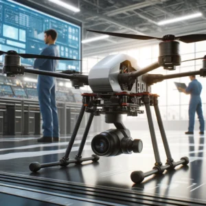
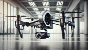
At Motionew.com, we understand the growing role of UAVs (Unmanned Aerial Vehicles) in professional applications like surveying, inspection, and especially mapping. If you’re exploring tools that can improve the accuracy and quality of your UAV mapping missions, one of the first components to consider is the gimbal system.
In this post, we’ll explain what gimbal systems do, why they are essential for mapping, and how to choose the right one for your UAV setup.
What Is a Gimbal System?
A gimbal system is a motorized, stabilizing platform that holds and controls the orientation of a camera or sensor during flight. Its job is to keep the camera level and steady, even if the drone tilts, moves, or vibrates.
Most gimbal systems stabilize on 2 axes (pitch and roll) or 3 axes (pitch, roll, and yaw). The more axes a gimbal supports, the smoother and more stable your footage and data will be—especially useful for mapping.
Why Are Gimbal Systems Crucial for UAV Mapping?
1. Accurate Image Alignment
Mapping missions rely on orthophotos and georeferenced images. If your UAV camera tilts during flight, the data gets distorted. A gimbal ensures that every image is captured from a consistent, level angle, reducing errors and improving final map quality.
2. Sharp, Blurry-Free Images
High-resolution mapping requires capturing detailed still images, often from high altitudes. Drone vibrations or small movements during image capture can cause blur—especially when using zoom lenses or during windy conditions. Gimbals eliminate this issue.
3. Repeatable and Reliable Results
Gimbals help create repeatable flight conditions. This is especially useful for long-term mapping projects (e.g., construction progress, environmental monitoring), where comparing consistent images over time is key.
4. Efficient Flight Operations
With a gimbal system, there’s less need for re-flights caused by poor image quality or inconsistent angles. That saves time, battery life, and operational costs.
How to Choose the Right Gimbal for UAV Mapping
Here are the main things to consider:
1. Camera Compatibility
Choose a gimbal designed for the type and weight of your camera (e.g., RGB, LiDAR, multispectral). Make sure the gimbal can support it without affecting flight performance.
2. Axis Stabilization
For mapping, a 3-axis gimbal is recommended. It provides the most stable platform for capturing consistent imagery, especially if your drone flies in challenging environments.
3. GPS and Trigger Integration
Some gimbals offer integration with GPS data and camera triggers, allowing for precise time-stamping and geo-tagging of each photo. This makes it easier to generate accurate maps later using photogrammetry software.
4. Durability and Weather Resistance
Mapping missions often happen in remote areas and various weather conditions. Choose gimbals built with rugged materials and optional weather protection.
5. Power and Control Systems
Make sure your drone’s power system supports the gimbal, and check if it works with your flight controller. Some gimbals offer remote camera control, which adds flexibility during mapping missions.
Real-World Applications of Gimbal Systems in UAV Mapping
Here are some scenarios where gimbal systems make a huge difference:
Agricultural Mapping: Helps capture clear, consistent images of crops for NDVI analysis and precision farming.
Topographic Surveys: Ensures accurate elevation mapping by maintaining a fixed nadir angle.
Urban Planning: Delivers sharp aerial images for 3D models and infrastructure layout.
Disaster Response Mapping: Captures clear visuals in unstable environments, aiding faster decision-making.
Simple Conclusion
So, what’s the role of gimbal systems for UAV mapping?
They keep your camera steady, your images accurate, and your data usable. Whether you’re working on small farmland or large infrastructure surveys, a gimbal is one of the most important tools for clean, reliable, and repeatable mapping results.
At Motionew.com, we offer a curated selection of gimbals and drone accessories that support mapping, surveying, and industrial use cases.


