At MotionNew, we provide top-quality components to elevate your VTOL drone projects. In this post, we break down the essentials of a GNSS Aided Inertial Navigation System—what it is, how it works, and why it’s a game changer for achieving precise, reliable navigation.
What Is GNSS and Why Is It Important?
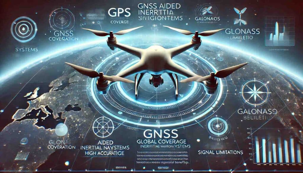
Global Navigation Satellite Systems (GNSS), including GPS, GLONASS, Galileo, and BeiDou, are the backbone of modern navigation. These satellite systems deliver accurate positioning, velocity, and timing data critical for long-range and precise navigation in VTOL drones.
Key Points:
- Global Coverage: GNSS signals are available worldwide.
- High Accuracy: Under ideal conditions, positioning is accurate within a few meters.
- Limitations: Signal interruptions can occur due to tall structures, dense foliage, or adverse weather.
GNSS gives you global positioning data, but its signals can sometimes be blocked.
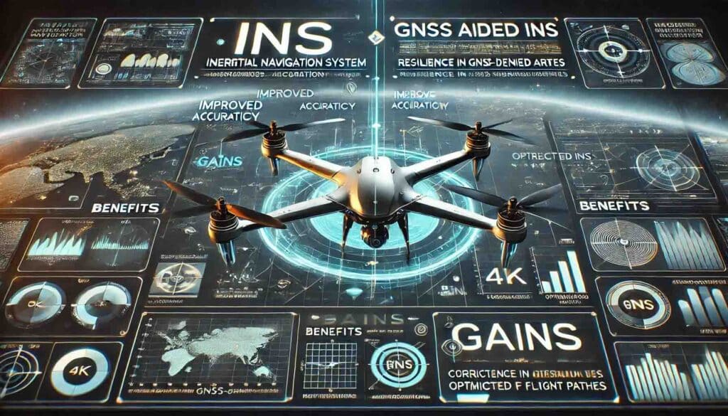
What Is an Inertial Navigation System (INS)?
An Inertial Navigation System (INS) uses onboard sensors—primarily accelerometers and gyroscopes—to compute a drone’s position, orientation, and velocity independently of external signals. This self-contained system is crucial when GNSS signals are weak or unavailable.
Key Features of INS:
- Autonomous Operation: Works independently from external signals.
- High Update Rates: Delivers rapid feedback on movement changes.
- Drift Management: INS data can gradually drift over time if not corrected.
INS keeps track of motion on its own but needs regular updates to avoid errors.
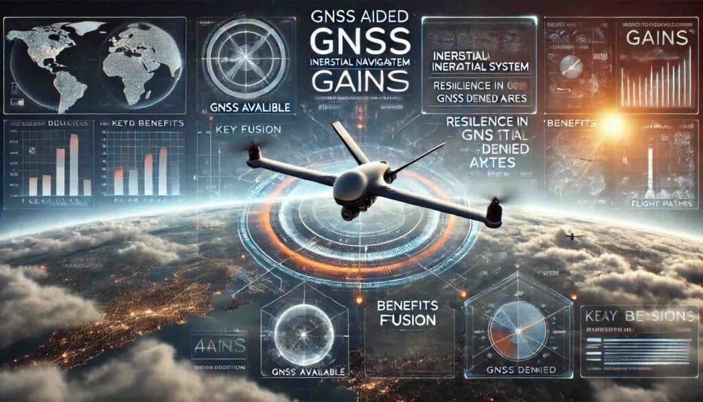
How GNSS Aided INS (GAINS) Works
A GNSS Aided Inertial Navigation System (GAINS) combines GNSS and INS to leverage their respective strengths, offering a robust navigation solution.
- Complementary Strengths:
- GNSS provides long-term accuracy and absolute positioning.
- INS offers fast, frequent updates on movement.
- Sensor Fusion:
Advanced algorithms merge data from both systems to correct INS drift with GNSS data. - Enhanced Reliability:
The INS keeps the drone on course when GNSS signals are weak, and then GNSS data refines the path once signals return.
GAINS mixes both systems so your drone stays on track, even when signals are poor.
Benefits of GAINS for VTOL Drones
Integrating a GAINS setup into your VTOL drone offers many advantages:
Improved Accuracy and Stability
- Precise Positioning: Accurate positioning is critical for tasks like mapping.
- Stable Flight Control: Enhanced navigation helps maintain a stable flight.
Resilience in GNSS-Denied Environments
- Backup Navigation: INS keeps the drone flying when GNSS is lost.
- Seamless Transitions: The system smoothly picks up GNSS data again.
Enhanced Safety and Efficiency
- Error Minimization: Less navigation error means fewer flight problems.
- Optimized Flight Paths: Efficient routing saves battery and time.
GAINS improves accuracy, keeps your drone stable, and makes flights safer and more efficient.
What Is an Inertial Navigation System (INS)?
An Inertial Navigation System (INS) uses onboard sensors—primarily accelerometers and gyroscopes—to compute a drone’s position, orientation, and velocity independently of external signals. This self-contained system is crucial when GNSS signals are weak or unavailable.
Key Features of INS:
- Autonomous Operation: Works independently from external signals.
- High Update Rates: Delivers rapid feedback on movement changes.
- Drift Management: INS data can gradually drift over time if not corrected.
INS keeps track of motion on its own but needs regular updates to avoid errors.
How GNSS Aided INS (GAINS) Works
A GNSS Aided Inertial Navigation System (GAINS) combines GNSS and INS to leverage their respective strengths, offering a robust navigation solution.
- Complementary Strengths:
- GNSS provides long-term accuracy and absolute positioning.
- INS offers fast, frequent updates on movement.
- Sensor Fusion:
Advanced algorithms merge data from both systems to correct INS drift with GNSS data. - Enhanced Reliability:
The INS keeps the drone on course when GNSS signals are weak, and then GNSS data refines the path once signals return.
GAINS mixes both systems so your drone stays on track, even when signals are poor.
Benefits of GAINS for VTOL Drones
Integrating a GAINS setup into your VTOL drone offers many advantages:
Improved Accuracy and Stability
- Precise Positioning: Accurate positioning is critical for tasks like mapping.
- Stable Flight Control: Enhanced navigation helps maintain a stable flight.
Resilience in GNSS-Denied Environments
- Backup Navigation: INS keeps the drone flying when GNSS is lost.
- Seamless Transitions: The system smoothly picks up GNSS data again.
Enhanced Safety and Efficiency
- Error Minimization: Less navigation error means fewer flight problems.
- Optimized Flight Paths: Efficient routing saves battery and time.
GAINS improves accuracy, keeps your drone stable, and makes flights safer and more efficient.
Key Components of a GAINS Setup
A robust GAINS system for VTOL drones typically comprises:
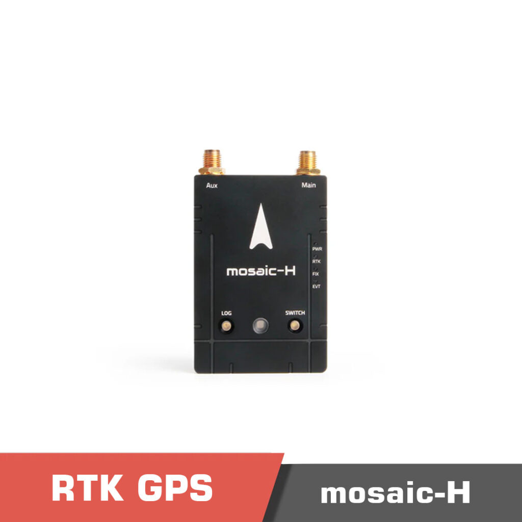
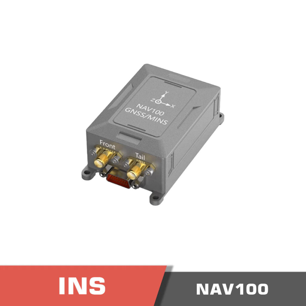
1. GNSS Receiver
- Function: Captures satellite signals to determine the drone’s position.
- Specs: High-sensitivity models track multiple satellite systems.
- Suggestions:
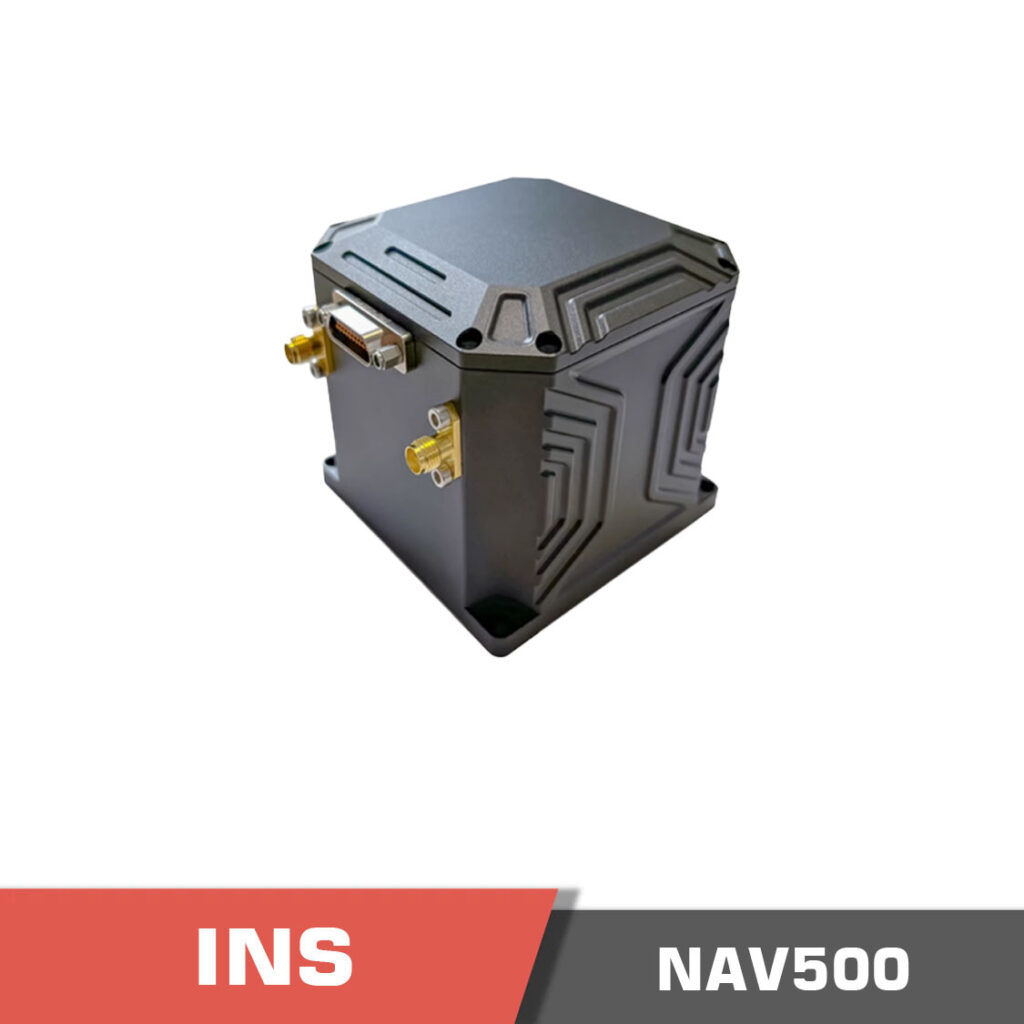
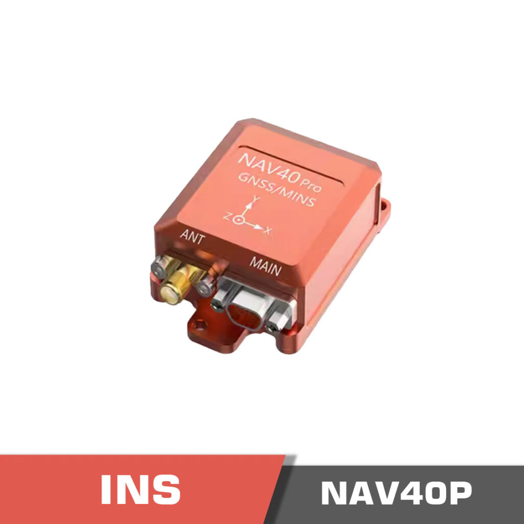
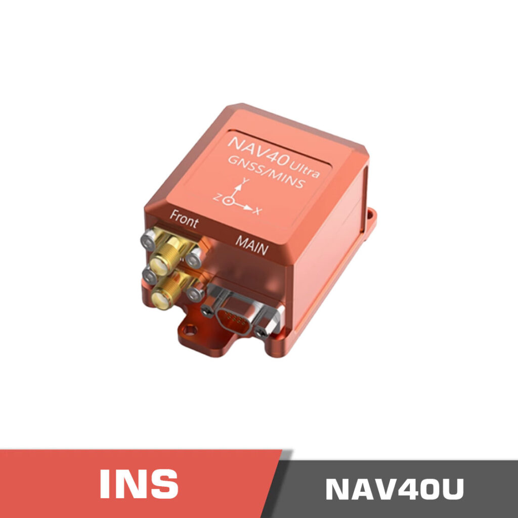
2. Inertial Measurement Unit (IMU)
- Function: Measures acceleration and rotation using accelerometers, gyroscopes, and sometimes magnetometers.
- Role: Provides real-time data crucial for INS.
- Suggestions:
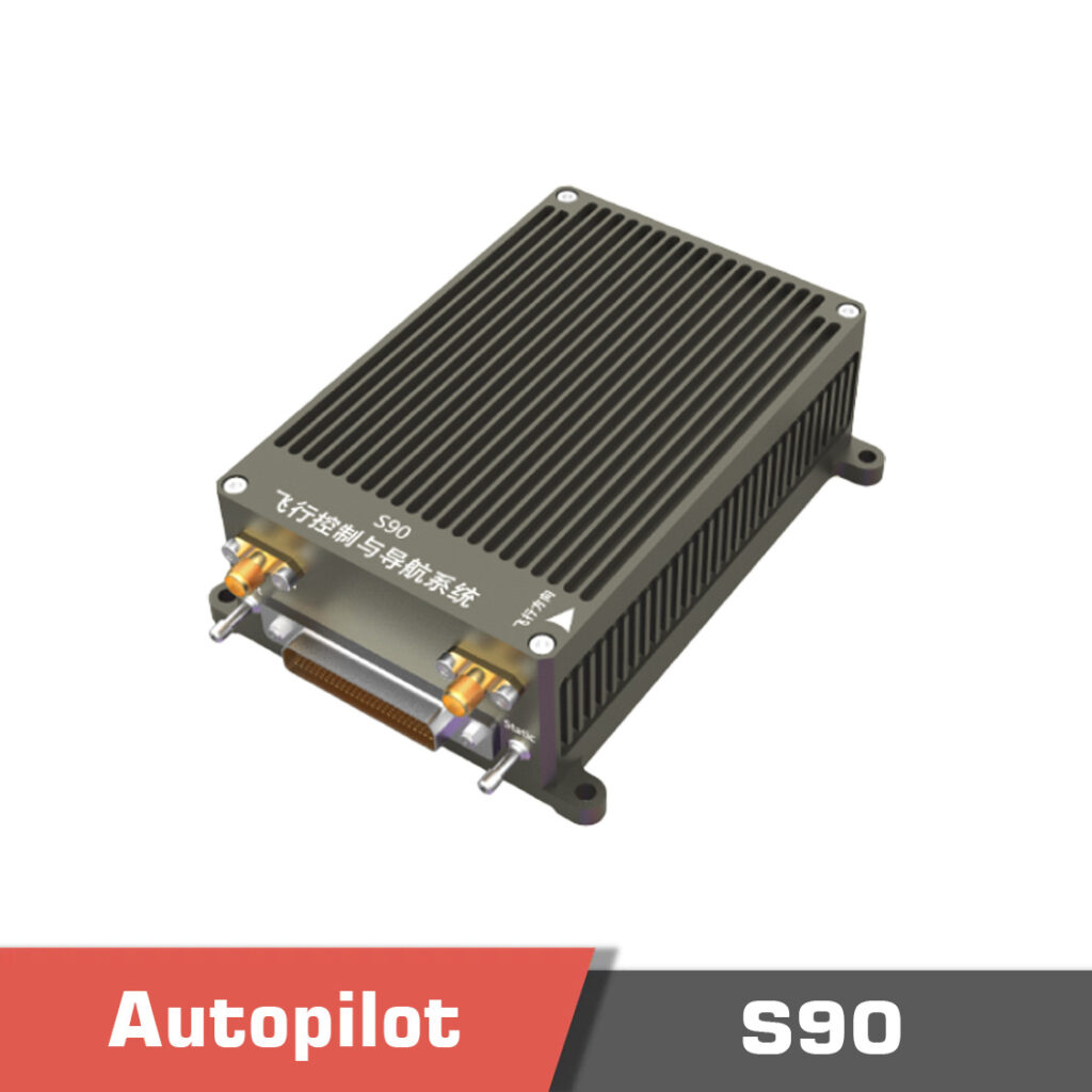
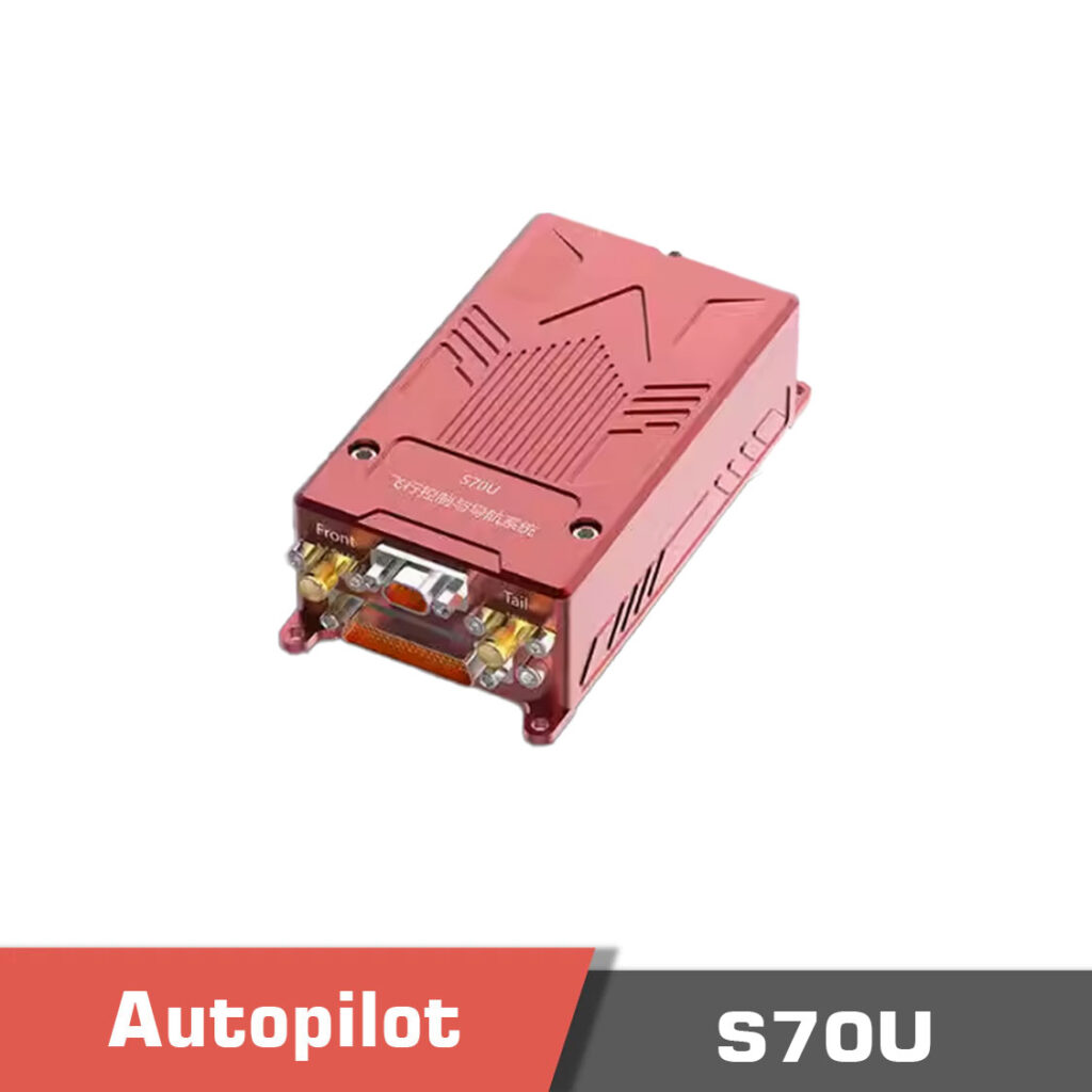
3. Sensor Fusion Algorithms
- Function: Combine GNSS and IMU data for accurate navigation.
- Implementation: Usually integrated into the flight controller.
- Ready to use models suggestions:
Implementing GAINS in VTOL Drones
Bringing a GNSS Aided INS into your VTOL drone involves three main steps:
Step 1: Component Selection and Integration
- Choosing the Right Parts: Select a high-sensitivity GNSS receiver and a robust IMU.
- Hardware Assembly: Securely mount the components to minimize interference.
Step 2: Calibration and Testing
- Initial Calibration: Align the sensors to ensure accurate readings.
- Flight Testing: Test in a controlled environment and fine-tune as needed.
Step 3: Software Integration
- Firmware Updates: Update the flight controller’s firmware for advanced sensor fusion.
- Real-Time Processing: Ensure quick data processing for smooth flight adjustments.
Pick the right parts, calibrate well, and keep the software updated to get the best performance.
Real-World Applications of GAINS in VTOL Drones
GAINS has transformed many VTOL drone applications:
Aerial Surveying and Mapping
- Provides accurate maps and surveys for agriculture and urban planning.
Search and Rescue Operations
- Keeps drones on course to deliver crucial data in emergencies.
Industrial Inspections
- Ensures precise inspections of infrastructure like bridges and pipelines.
GAINS makes drones reliable for mapping, rescue, and inspections by keeping them accurately on course.
Additional Examples and Case Studies
Here are more examples of how GAINS is used:
- Agricultural Monitoring:
Drones can monitor crops accurately, helping with targeted care and resource optimization. - Urban Infrastructure Management:
In cities, drones track road conditions and building structures even in crowded areas. - Environmental Research:
Researchers use drones to study wildlife and monitor environmental changes in remote areas. - Logistics and Delivery:
For drone delivery, GAINS ensures packages reach their destination accurately.
From farming to urban management, GAINS helps drones work better in many real-world tasks.
Overcoming Challenges with GAINS
While GAINS offers many benefits, there are a few challenges:
Interference and Signal Blockage
- Urban areas, forests, and bad weather can block GNSS signals.
- INS helps fill the gap, but calibration is key.
Sensor Drift and Calibration
- Over time, sensors may drift.
- Regular calibration and firmware updates keep errors low.
Complexity of Integration
- Merging GNSS and INS data requires technical know-how.
- Use available guides and support to help with integration.
GAINS works well, but you must manage signal issues, sensor drift, and technical challenges carefully.
How to Choose the Right GAINS Components
When building your VTOL drone with GAINS, keep these points in mind:
- Compatibility:
Make sure your GNSS receiver, IMU, and flight controller work together. - Quality and Durability:
Invest in high-quality components for long-term reliability. - Support and Community:
Use reviews, manufacturer support, and forums to guide your choices.
Choose components that work well together, are built to last, and come with good support.
Final Conclusion
The GNSS Aided Inertial Navigation System is a revolutionary technology that significantly enhances the precision, stability, and reliability of VTOL drones. By seamlessly integrating the long-term accuracy of GNSS with the high-frequency responsiveness of INS, GAINS equips your drone to navigate even the most challenging environments.
Simple Final Conclusion: In short, GAINS makes your drone smarter and safer by combining the best of both navigation systems. With the right setup, your VTOL drone will fly more accurately and reliably, opening up new possibilities for aerial work.